|
|
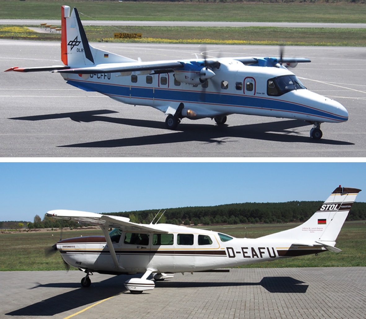
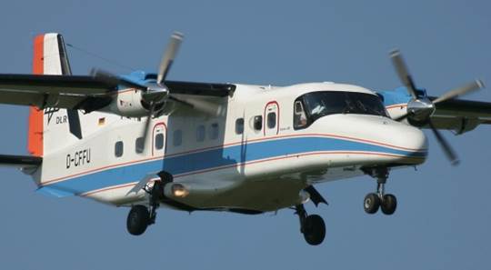
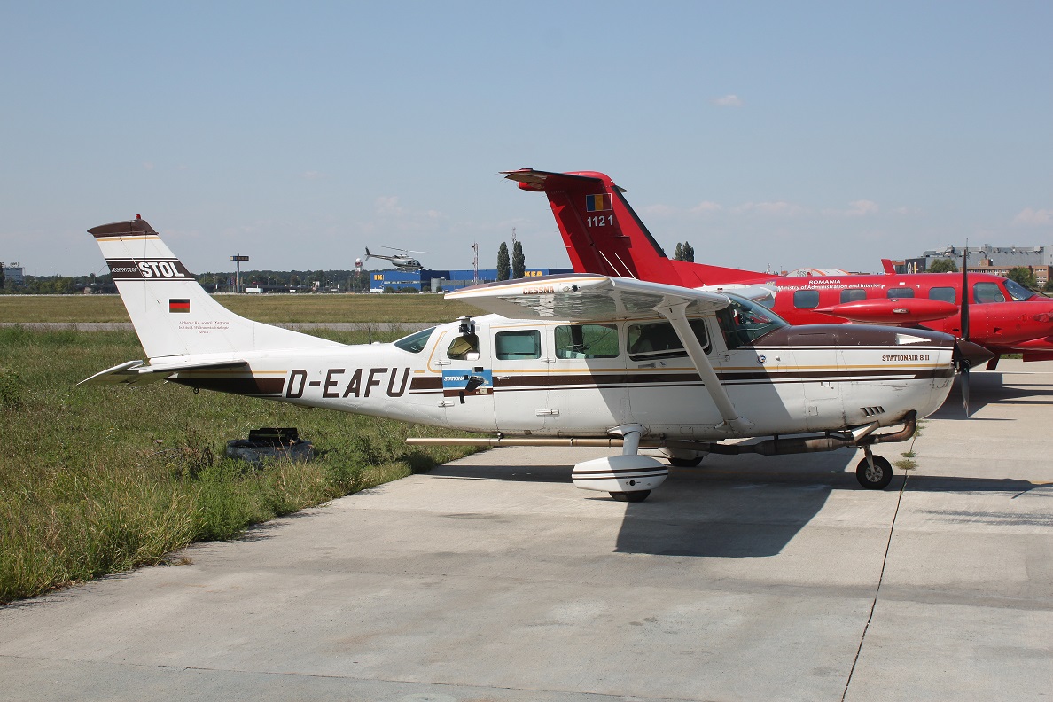
Aircraft observations are unique data sets to study the vertical and horizontal trace gas distribution in the troposphere at high spatial resolution and to link between
global/regional monitoring from space, local air quality models and ground-based observations. The DOAS group has built up a strong expertise in the development and operation of airborne remote sensing instruments, and data processing.
|
S5PVAL.BE
|
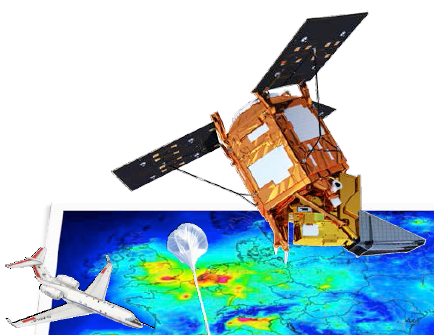
For validation of the recently launched Sentinel-5 Precursor (S-5P) / TROPOMI mission, the S5PVAL-BE campaign took place from 26 to 29 June, 2019 over Antwerp and Brussels, Belgium with a focus on mapping of the horizontal distribution of tropospheric nitrogen dioxide (NO2). In total four mapping flights, coinciding with the S-5P overpass time, took place on four consecutive, cloud-free days with the APEX imaging spectrometer. The study will focus on the assessment of the TROPOMI NO2 product over polluted regions as well as on the TROPOMI sub-pixel NO2 variability and the impact of spatial smoothing of the signal. More...
|
|
AROMAPEX
|
The AROMAPEX campaign was carried out in April 2016 in Berlin. The primary objective of AROMAPEX was to test and intercompare the performance of experimental airborne atmospheric imagers, dedicated to the retrieval and high resolution mapping of tropospheric nitrogen dioxide (NO2). AROMAPEX is also a preparatory step for forthcoming calibration/validation campaigns for the new generation of satellite air quality sensors, starting with TROPOMI. More...
|
|
BUMBA
|
The BELSPO funded BUMBA project (Belgian Urban NO2 Monitoring Based on APEX remote sensing), which is a collaboration between BIRA-IASB, VITO and IRCEL-CELINE, started in 2015. It aims at the development and demonstration of a new system, combining high-resolution modelling supported by APEX measurements, to inform in near-real time on the risk of human exposure to nitrogen dioxide (NO2), a key pollutant emitted in Belgium. APEX is an airborne pushbroom hyperspectral imager developed by a Swiss-Belgian consortium on behalf of ESA. A flight campaign is carried out above the cities of Antwerp, Brussels and Liège in April 2015. More...
|
|
AROMAT Campaigns
|
The Airborne ROmanian Measurements of Aerosols and Trace gases (AROMAT) campaigns were held in Romania in September 2014 and August 2015. The AROMAT campaigns took place in the framework of the ESA Copernicus Earth observation programme and were coordinated by BIRA. The AROMAT activity included eight other research institutions from Romania (University of Galati, INOE, and INCAS), Germany (Universities of Bremen, Berlin, and MPIC) the Netherlands (KNMI), and Norway (NILU).
More...
|
|
SWING/UAV
|
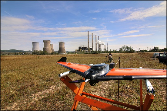
The Small Whiskbroom Imager for trace gases monitoriNG (SWING) is a payload developed for an Unmanned Aerial Vehicle (UAV). One major objective is the mapping of NO2 columns at high spatial resolution allowing to subsample satellite measurements within the extent of a typical ground pixel. SWING has been successfully operated on board a UAV in Romania, in particular during the AROMAT campaign in September 2014. More...
|
|
ULM-DOAS/Earth Challenge
|
The Ultra-Light Motorized DOAS (ULM-DOAS) instrument is a simplified and miniaturized version of the ALS-DOAS, developed for the Earth Challenge expedition, which involved 4 ultra-light aircraft between Australia and Belgium in 2009. The measurements were used to quantify the NO2 tropospheric column around several poorly sampled areas. More...
|
|
ALS-DOAS/POLARCAT
|
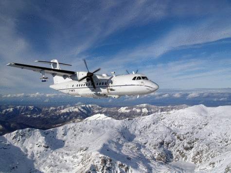
The Airborne Limb Scanning DOAS (ALS-DOAS) instrument was developed at BIRA-IASB and first used during the CNRS-POLARCAT campaign in Spring 2008, on board the Safire ATR-42. It revealed the vertical distribution of aerosol extinction and NO2, which were related to local or long-range pollution transport. More...
|
|
|